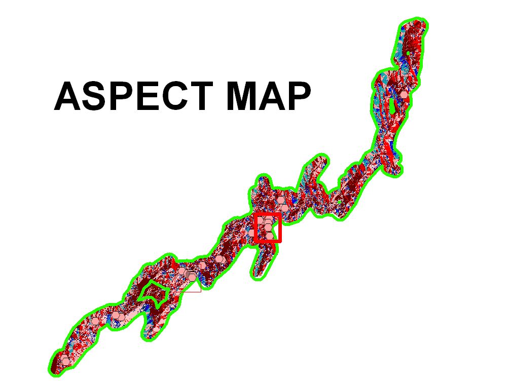
Use of Idrisi32 to evaluate slope data and determine Aspect information for the lower portion of the Fishkill Creek Floodplains
Use of Idrisi32 to evaluate slope data and determine Aspect information for the lower portion of the Fishkill Creek Floodplains

Leave a comment