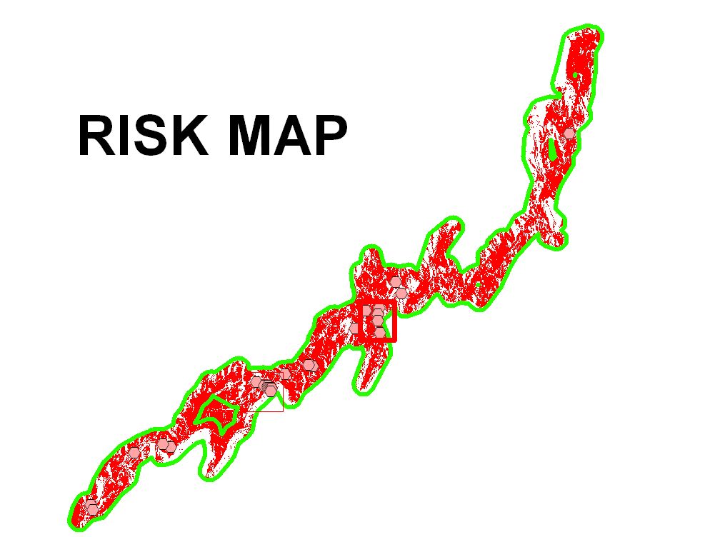
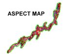
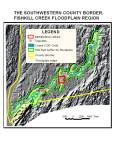
Application of Slope and Aspect maps to define risk areas across a large floodplain
Δ
This site uses Akismet to reduce spam. Learn how your comment data is processed.
Blog at WordPress.com.

Leave a comment