Assessment of Fowler Property
(Work in Progress)
While it is still fresh on my mind, I have to get the stuff I remember about this site down in writing.
NOTE: these maps, generated with Google Maps, can be accessed at:
.
(These are only approximations of the property edge and placement of uses for now)
.
When Charles Card (b. ca. 1900-5) set up plans to develop this area in the late 1950s (I think 1956-1957), he used the old Fowler’s road marked by two parallel stone walls as land use assessment boundaries. It is not known whether or not the old stone walls mark a piece of property which today is considered accessible and which remains open as an easement ( assume it is at least at the West end), or if it is closed off for use as a public walkway (not that you could use it since it is so grown over), but due to the history of the property line markers along this road (I recall these being laid through these woods since the 1960s) such as surveyor tape, metal poles, and later granite pillars (around 1972, etc.), I suspect it is probably the case that this roadway is at least partially open for a walk through (an remember to bring your machete!)
From 1963 to 1976, I could heading from west to east from my house to Old Hopewell Road. The original roadway headed from the old pond at the junction of Card and So. Fowlerhouse. You could follow this road along the small creek edge toward Peggy Lane, and then continue along the bottom 100 feet of[North] Fowlerhouse, before re-entering woods on the open path (old road), with the house to your right. This road continued into the backwoods quite a ways and along several routes, some still frequents by ATVs.
The other route in the original Fowler road that headed from Old Post (Rte 9) to the old farm house located along what is now Peggy Land. It was probably situated in one of the two end lots on either side of this street. Based on junk yards found in the woods back in the 60s, I suspect the house to be halfway down Peggy, maybe on the right (behind the old Cunningham house).
From the bend at the beginning of Peggy Lane, eastward, there is an old stone wall edged roadwaythat continues into the woods on up to Route 9. At that corner, the Fowlerhouse Road (North Fowlerhouse to some of us) is to your left, and continues on up to Route 9 by taking a turn to the right; its runs exactly parallel to the road bordered by two stone walls taking you up to Route 9. At the top of the hill, the Octagon House and its garden would be to your right.
At that last bend to the right, one used to be able to head straight as well, through the woods, along another old road leading to the corner of what is now Old Hopewell Rd and Rte 9. There were two large farm houses built there. One on the corner of North Fowlerhouse and Rte 9, and the other in the middle of the field north of that farmhouse, atop a small crest overlooking the field in a westward direction, where the mall now stands. I could in theory walk from my house to that house by travelling another flat carriage style road from just behind the house downhill from mine, straight northward, then a little to the left and then right onto that segment between Peggy Lane and the Fowlerhouse road heading up the hill, continuing northward along the dirt road, at a NNE angle towards to large white house that was once a farmhouse. (We could only make it as far as the property edge on the north side of a field, between two fields, marked by a stone wall, before coming upon the posted sign.)
This lay out gave Charlie Card a road with land use possible on both sides, and a well delineated boundary between the Northern half being developed and the southern half, which consists of South Fowlerhouse Road and Card Road, forming a triangular loop.
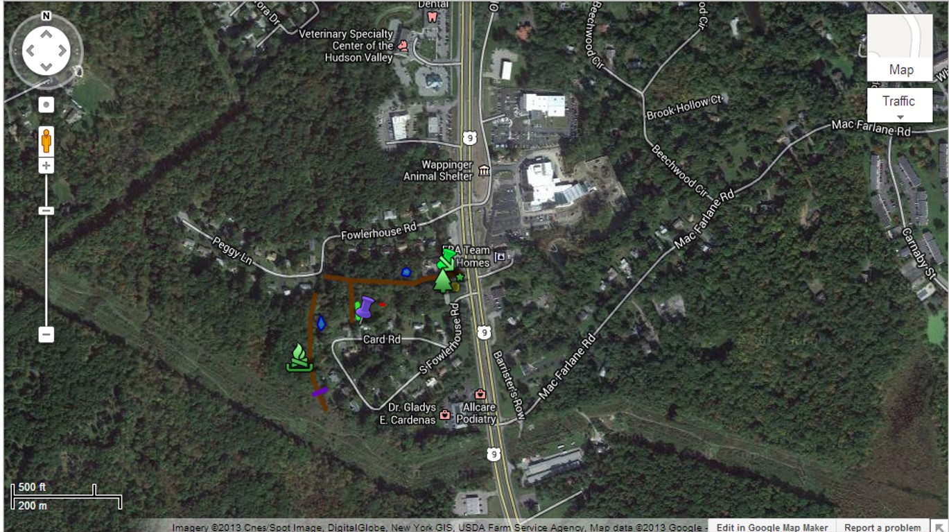
Entire area around Fowlerhouse and South Fowlerhouse roads
I learned a lot about the development of these blocks because Charles Card ran the corner store up there on Route 9, which we appropriately called Card’s Store. I always talked with him about building this area because I lived on Card Road, and knew his daughter Peggy, whom he named the other street off North Fowlerhouse Road after (when I was 5, she was in Junior High or early High School and always on the bus until her last year). We talked about the Fowlers more generically; he never mentioned the octagon home built there.
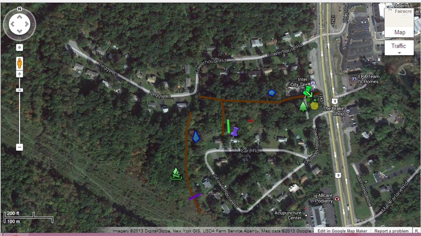
Closer View
.
From 1960 to 1976, I spent much of my time in the woods, and knew all the trails for about 5 miles around this place. This included the trails leading towards Route 9D, towards Baxtertown Road (where a corale was set up in the middle of what is now woods), north to Joe Dyson’s store via the back woods routes on foot. There were a number of relics throughout this region, including a dammed stream formed into a pond for cattle (pretty far west of this section). Immediately behind the house,s two houses down from Route 9 on North Fowlerhouse Road, was a perfectly round pond with a perfect bowl shape to its bottom. On occasion it would dry up in the summer and you could see the cracked mud bottom and its perfect form. Due to this shape I assumed it was either left by ice blocks following the glacier that came through this region, or was manmade. Other things supporting the manmade pond theory were the relics found between this pond, across the stone walls road, and towards the artesian well situated a little downhill (towards the Hudson) from this pond. There was also an opening in the wall big enough to allow a horse and carriage or cattle to make their way to the water edge.
.
.
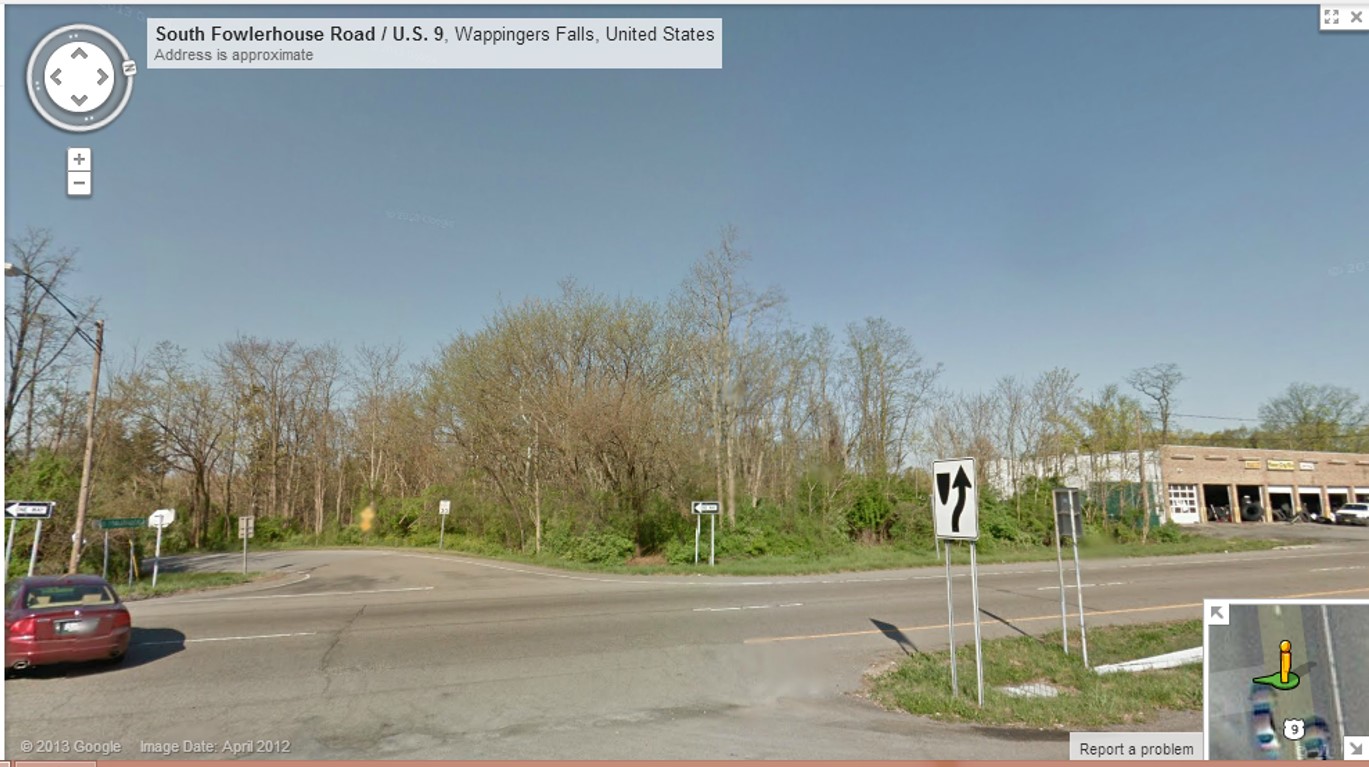
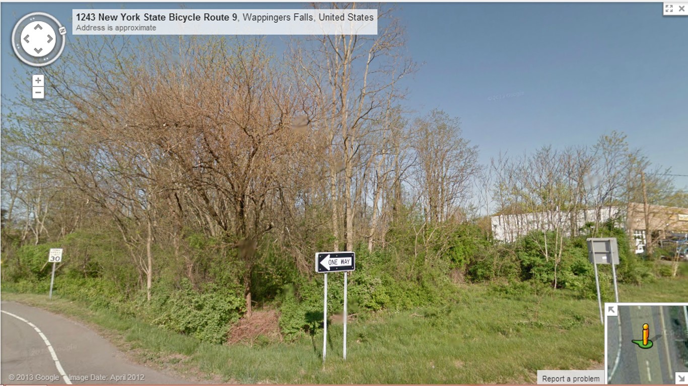
View from Halfway across Route 9, looking west-northwest to westwestnorthwest.
.
Closer
.

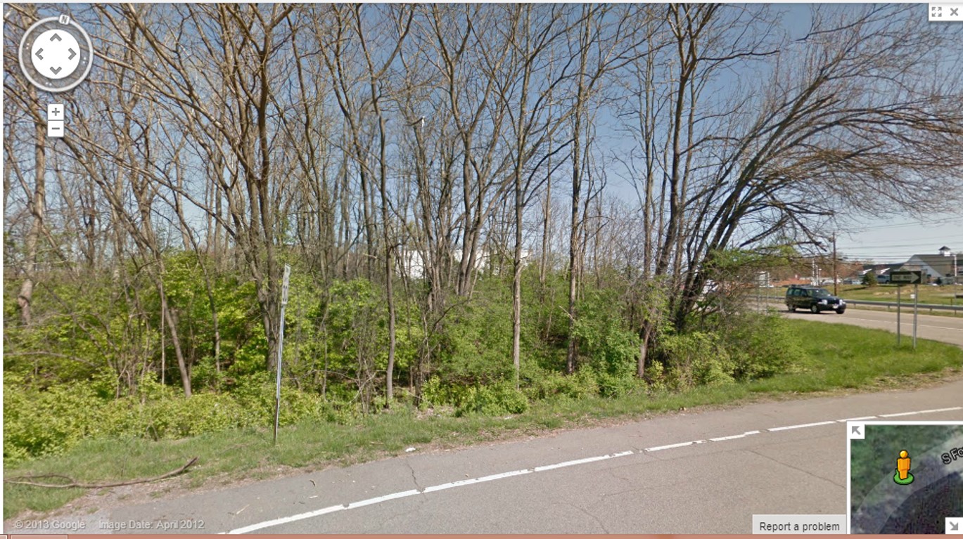
More from the north on same side of street (no left turn means no left turn and no U-turn)
.
![]()
the same, a little further up the street edge
.
View from coming out of South Fowlerhouse development
.
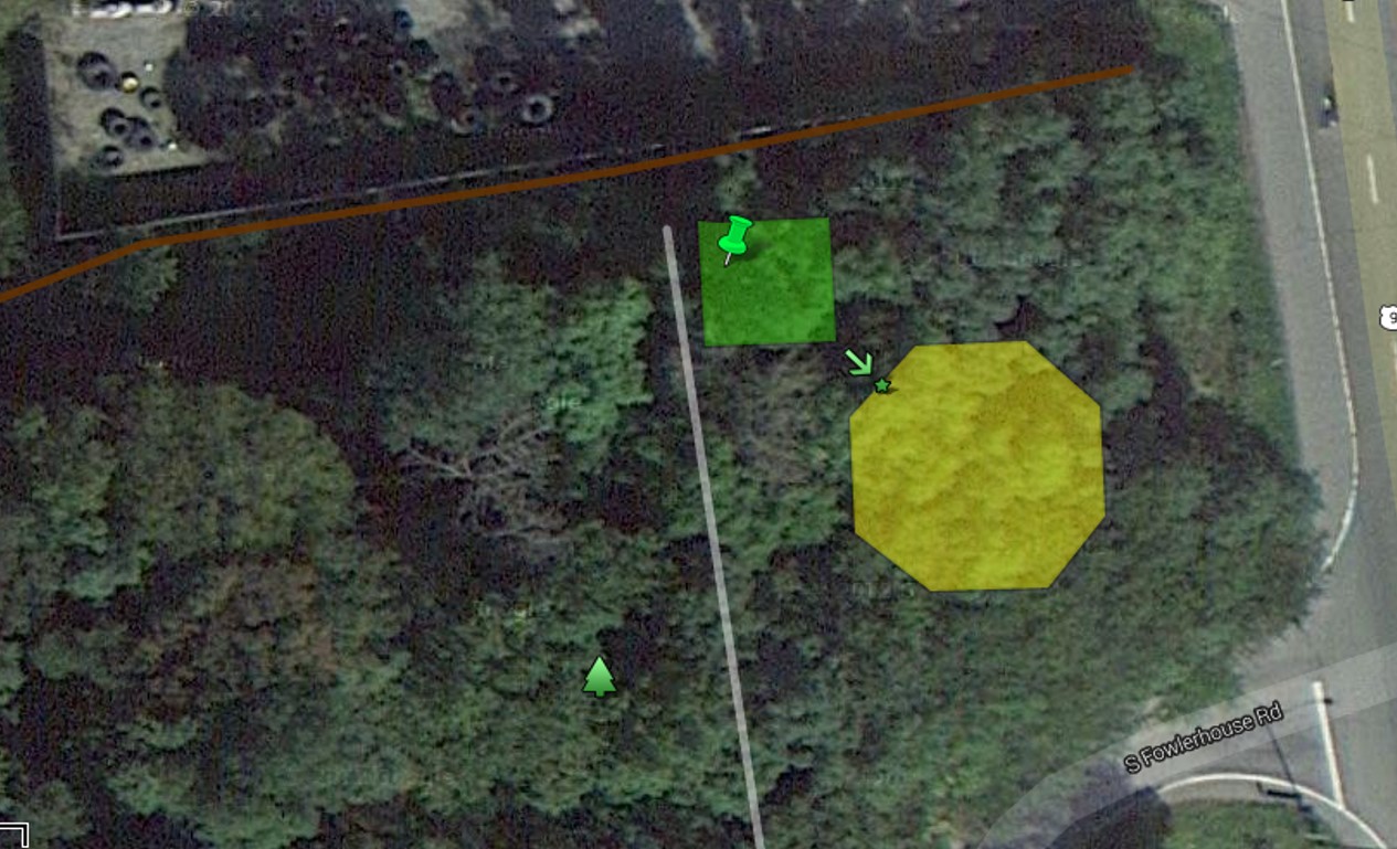
The green pin is the Rhubarb plant. The green dot on the edge of the Octagon is where the earth closet probably was. The center of that octagon had a layer of cement under the soil; this may be a few inches under the surface by now. The road through the woods is accessible via the Peggy Lane-North Fowlerhouse bend. It is cluttered with tree remains left by the neighbors and other yard greenery and debris. Follow the barely open path along the carriage road, and if necessary get up on the left stonewall and follow it up the hill.
.
Some History. Back in the 1960s and 1970s, I frequently hung out on this property. It was open space, with only tall grass and weeds growing, a few shrubs closer to the woods like young black locust, sumac, etc. In the back section, northwest corner was a plot of land with a very large rhubarb growing there. In the center of the property were sections of flat cement showing. There were never any wall edges or basement stones, bricks to note. There were a few isolated bricks strewn about the premises here and at the edge of the hill that exists about 25-30 feet from the edge of the road.
The hill formed the west edge of the garden space. Based on Orson’s book, the earth closet was either on the west face or northwest face of the Octagon. The Northwest face displayed above with the arrow was closer to the garden, which he fertilized using what was in the earth closet (presumably it was “seasoned” or composted some more afterward).
The stone walls for the roadway heading west commenced on the slope heading down into what is now a wooded area. Some of this section of the plot was perhaps damaged by the expansion of buildings and changes in land use performed by the tire company next door.
Along the center of the slope-entrance into the woods, as well as close to this stone wall road, were piles of debris and garbage, nearly all from 1900 to 1940. Some of this garbage was still there and was photographed during one of my last visits.
Over the years, as trees grew up on this property, I recall Black Locust, Prickly Ash, Cherry, Hawthorn, American honeysuckle, sugar maple, and Ailanthus being the most abundant species. English Ivy was seen at the edge of the woods near the slope. The Rhubarb plant remained there well into the 1970s, perhaps as long as until 1980.
Other pages for this section of my blogs:
